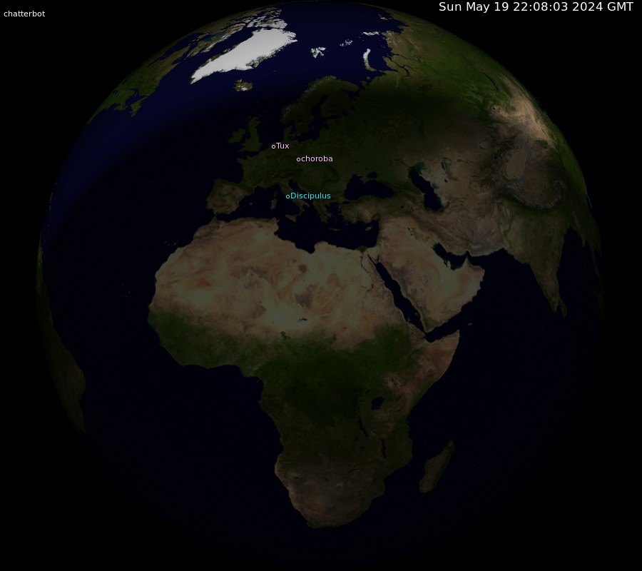
Tux bojinlund chatterbot
Names in cyan: From HTML comment.
Names in pink: Guess from location field.
Names in grey: Guess from timezone.
Names on the left: No idea of their location.
Names on right: Not visible given the current orientation of the earth.
Zoom of Europe also available.
Format for HTML comments: <!-- location:latitude:DD.MM.SS,longitude:-DD.MM.SS --> -- use - only for S latitude or W longitude. Try multimap.
By theorbtwo, using xplanet. Geographical data from The Getty Thesaurus of Geographic Names and other sources. Cloud layer from the University of Dundee, via the xplanet project. Open (ugly) Source (you'll need the config file, and the used daytime earth map too). Special thanks to jc, masem, bart, and vroom. Currently maintained by bart.